

Biidaasige Park is a waterfront park on Ookwemin Minising in Toronto’s Port Lands, near Cherry Street. If you’re planning things to do in Biidaasige Park, you can walk or cycle its trails, explore the restored waterway landscape and use its picnic areas and launches.
- Location: Port Lands, near Cherry Street and Commissioners Street.
- Trails: More than five kilometres of walking trails and cycling paths.
- Outdoor features: Wetland, spillway, fishing areas, picnic areas and canoe and kayak launches.
- Connections: The park links to the Martin Goodman Trail and Lower Don Trail.
Where is Biidaasige Park?
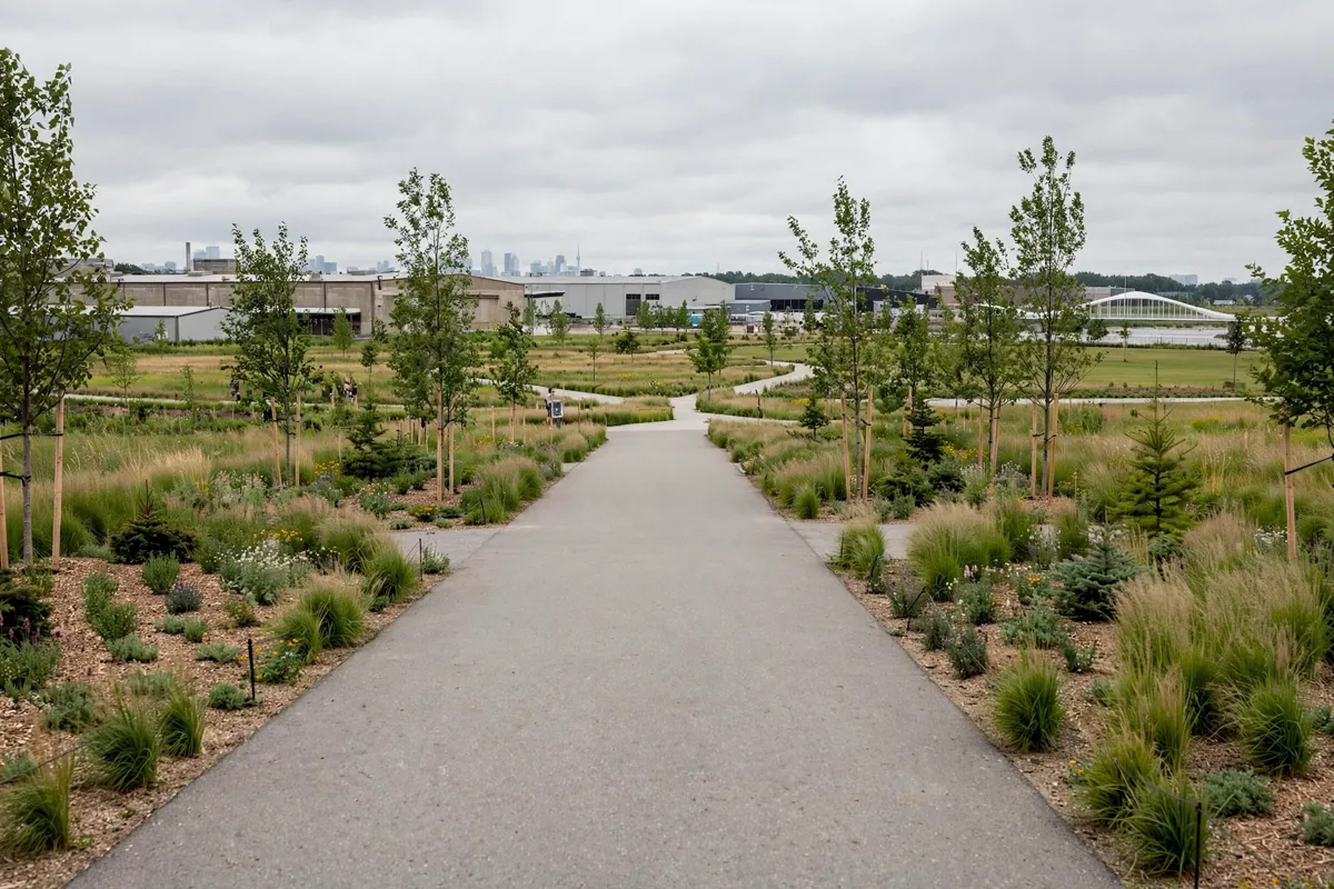
Biidaasige Park sits on Ookwemin Minising in Toronto’s Port Lands, near Cherry Street. Cherry Street and Commissioners Street form the closest major intersection, making that junction a useful reference when planning your approach.
Biidaasige means sunlight shining toward its people in Anishinaabemowin, while Ookwemin Minising means “place of the black cherry trees.” The park celebrates waterway restoration and reconciliation and was created through the Port Lands Flood Protection project.
What can you see and do in the park?
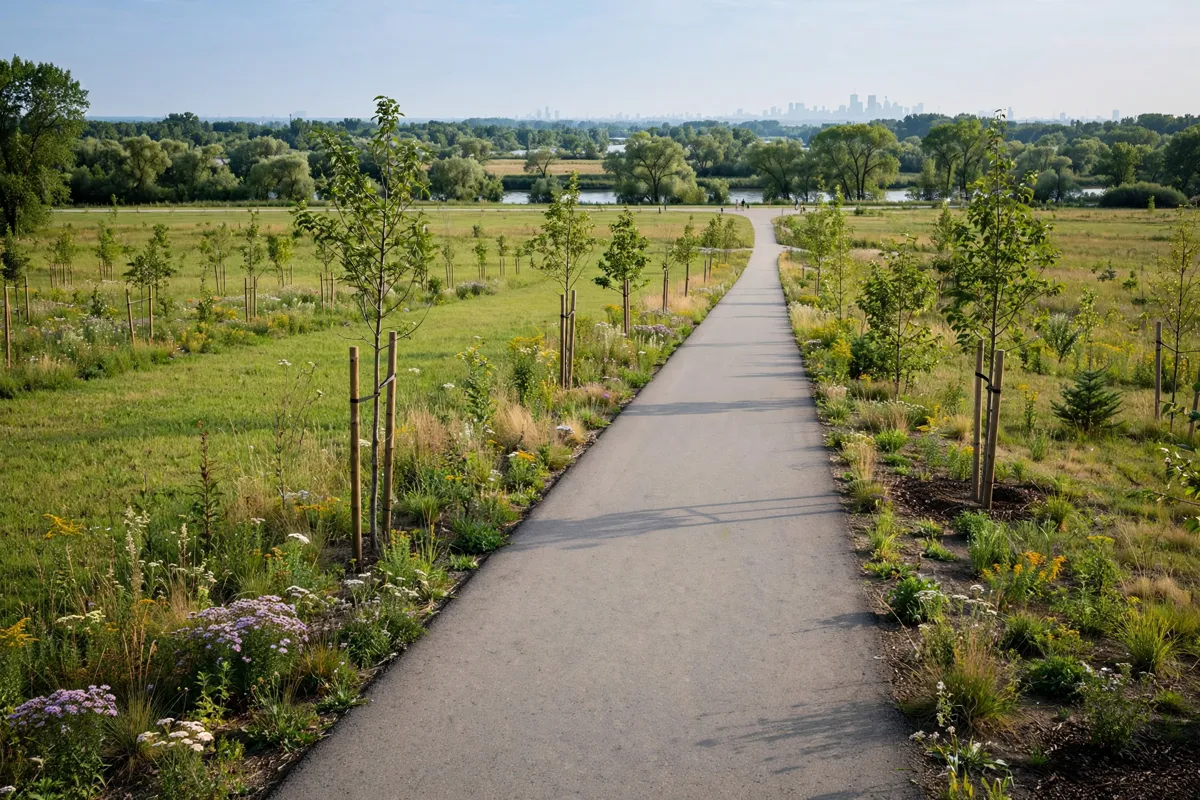
Biidaasige Park combines waterside routes, green space and features connected to the Port Lands’ working-waterfront history. You can follow the trails, pause at the wetland and spillway, or plan time around a picnic area or gathering space.
Waterfront Toronto describes a one-kilometre Don Greenway wetland and spillway, Old Fire Hall 30, the Atlas Crane, an event lawn with capacity for approximately 3,000 visitors, and the four-kilometre Lassonde Art Trail. The Atlas Crane is a preserved 300-ton marine cargo crane installed in 1961 and decommissioned in the 2000s.
The park has fishing areas, barbecues, canoe and kayak launches, and two off-leash dog areas. If you’re visiting with a dog, one area is west of Cableway Canyon (Adventure Playground) and the other is east of Old Fire Hall 30.
For a longer ride or walk, connect with the Martin Goodman Trail or take the Lower Don Trail, which runs through the park east and south of the river. Bicycle-locking areas and Bike Share stations are available on site.
How do you get to Biidaasige Park from Whitby?
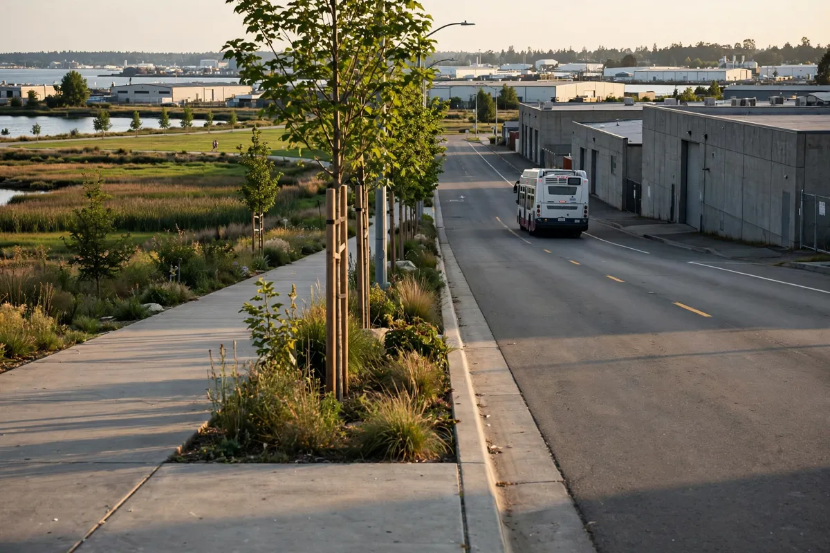
Biidaasige Park is in Toronto, while Lucien Motel is in Whitby, so plan the journey as a trip from Whitby into the Port Lands. The Lucien Motel in Whitby is a starting point for that trip.
TTC bus route 114 Queen’s Quay East stops along Cherry Street and Commissioners Street by the park. Route 72D Pape stops near Saulter Street and Commissioners Street.
The East-West Water Shuttle is a seasonal service connecting Toronto’s inner harbour and stopping at Ookwemin Minising at 242 Cherry Street. Its vessels hold approximately 12 passengers per trip and may fill during busy periods.
If you’re arriving by bicycle, the park’s trail connections make it possible to continue onto the Martin Goodman Trail or Lower Don Trail. For car drop-offs, use 11 Munition Street for ride-share pick-ups and drop-offs; Commissioners Street does not allow them. The route from Whitby GO Station to the motel covers another connection for trips beginning in Whitby.
What should you know about access and facilities?
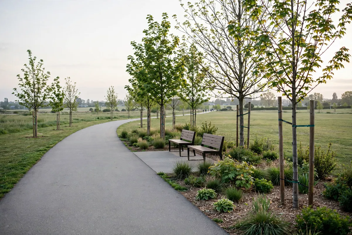
Park access points vary by section: 39 Commissioners Street serves Old Fire Hall 30 and the eastern portion, while 238 Cherry Street serves the western portion. Wheel-Trans access is available at 39 Commissioners Street and 242 Cherry Street.
Parking is limited. There is a small temporary lot at 11 Munition Street with 120 spaces, along with on-street parking at certain hours on Old Cherry Street, Villiers Street and Munition Street.
Picnics and smaller social gatherings are first-come, first-served; you can book a space for a large event. For Wheel-Trans trips to Fire Hall 30 or the play areas, use reservation code BIIDAAS-PK and destination 39 Commissioners Street. For the western portion, use code BIIDAAS-WE and destination 242 Cherry Street.
The City advises that shade is limited while trees grow, and recommends dressing accordingly and wearing sunscreen. It also advises paw protection because the park’s asphalt is fresh. For current access, transport and facility conditions, check the official site before you go.
How can you plan a waterfront day out?
Start with a walk along the Don Greenway wetland and spillway, then choose a trail route or a place to pause for a picnic. If you want to cover more ground, use the cycling paths and connect to the waterfront trail network; if you’re meeting a group, check the park’s gathering options before settling on a spot.
Leave time to take in the park’s restored waterway setting and its industrial landmarks, including the Atlas Crane and Old Fire Hall 30. The Lassonde Art Trail adds another route through the park, while fishing areas and launches offer other ways to spend time outdoors.
Before setting out to paddle, check the City’s recreation updates: the Keating Channel and the Lower Don River north of the Keating Channel are closed to paddlers due to construction, and Canoe Cove in Biidaasige Park West is closed. Conditions and access can change, so confirm details with the City when planning.
FAQs
What does Biidaasige mean?
Biidaasige means sunlight shining toward its people in Anishinaabemowin. Ookwemin Minising means “place of the black cherry trees.”
Can you bring a dog to Biidaasige Park?
Yes. The park has two off-leash dog areas, one west of Cableway Canyon and one east of Old Fire Hall 30.
Can you hold a picnic or gathering in the park?
Picnics and smaller social gatherings are first-come, first-served. A space can be booked for a large event.